


12,5 km | 15,3 km-effort

Gebruiker


Gratisgps-wandelapplicatie
 SityTrail
IGN / Geografische instituten
SityTrail World
De wereld gaat voor u open
Tocht Stappen van 2,1 km beschikbaar op Auvergne-Rhône-Alpes, Ardèche, Les Vans. Deze tocht wordt voorgesteld door sandrineh.
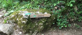
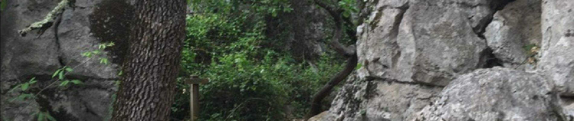
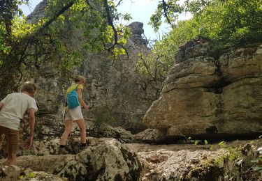
Depuis le parking des clairières. Le bestiaire, le labyrinthe. Cela commence comme une ballade digestive puis cela se transforme en expédition dans les rochers. Certains passages étroits. Prévoir de bonnes chaussures.


Stappen

Stappen
Stappen
Stappen

Stappen

Stappen

Mountainbike

Stappen
Stappen
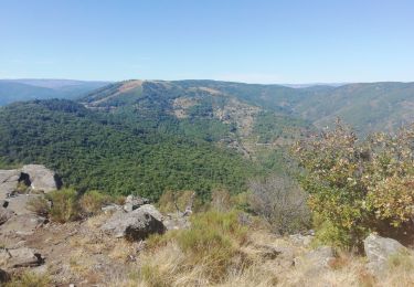
Très ombragé.